
Garmin Echomap Ultra 2 162sv Chartplotter without Transducer

€4,487.21*
% Discount €5,124.99* (12.44% saved)
Content:
1 Piece
Product number:
Product number:
010-03385-00
EAN:
0753759353322
Product information "Garmin Echomap Ultra 2 162sv Chartplotter without Transducer"
Garmin
Echomap Ultra 2 Chartplotter with 16-Inch Display without Transducer
See more, catch more!
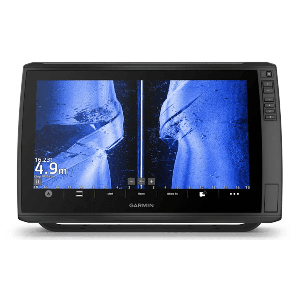
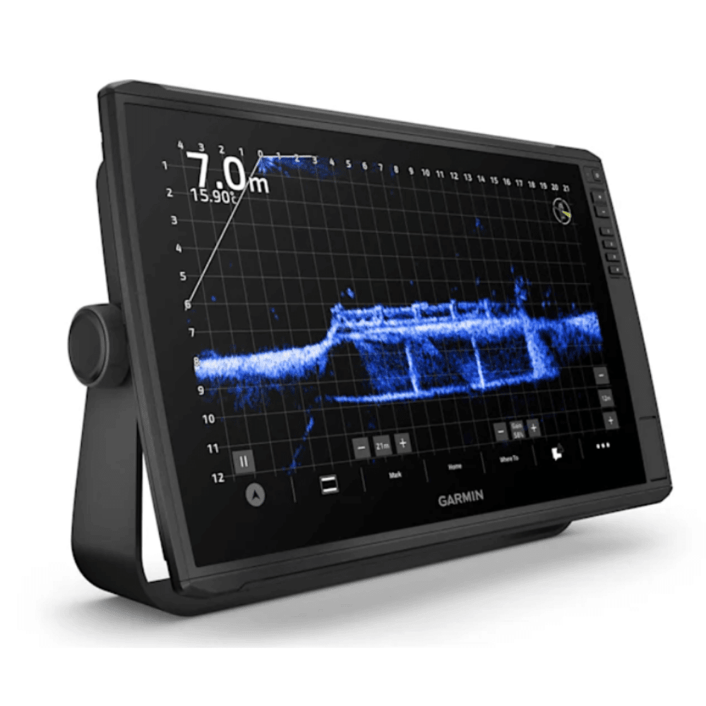
This 16-inch chartplotter with full HD touch display is the ultimate choice for anyone who loves fishing. Enjoy the large display, where navigation maps and sonar images are displayed clearly, brightly and legibly. The device supports Garmin Navionics+ and Garmin Navionics Vision+ maps and the entire range of LiveScope sonars1 as well as Ultra-HD sonars and traditional CHIRP sonars.Product details:
- 16-inch touch display with additional button control
- HDMI output for sharing the display
- Bluetooth allows voice control functions
- supports Livescope sonar and more
- wireless network
- sharing of sonar data, waypoints, and routes
- Multi-frequency reception of global satellite systems for accurate positioning
General:
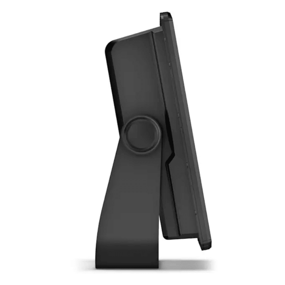
- Dimensions: 43 x 26.6 x 8 cm (16.9-inch x 10.5-inch x 3.14-inch)
- Weight: 4.31 kg (9.5 lbs)
- Waterproof: IPX7
- Touchscreen
- Display type: FHD, IPS
- Display size: 34.5 x 19.5 cm; 39.7 cm diagonal (13.6-inch x 7.7-inch; 15.6-inch diagonal)
- Display resolution: 1920 x 1080 pixels
- Mounting options: Bracket mount or flush mount
- Button control Touchscreen with additional button control
Maps and memory:
- Data card support: 2 microSD memory cards
- Waypoints: 5000
- Track points: 50,000
- Tracks: 50 saved tracks
- Routes: 100
Sensors:
- GPS
- GLONASS
- Galileo
- BeiDou
- Integrated receiver
- Receiver: 10 Hz
- Compatible with NMEA 2000®
- NMEA 0183 compatible
- WAAS support
- Supports multiband GPS and multiple satellite systems
Optional map support:
- BlueChart g3
- BlueChart g3 Vision
- LakeVü g3
- LakeVü g3 Ultra
- Garmin Navionics+
- Garmin Navionics Vision+
- TOPO 100K
- Standard maps
- Garmin Quickdraw Contours
Chartplotter functions:
- Supports AIS (tracking the position of the target boat)
- Supports DSC (display of position data from DSC-capable VHF radio)
- Supports FUSION-Link compatible radios
- Compatible with ActiveCaptain: Yes
- Supports voice commands
- Sailing functions
Electrical data:
- Power supply: 9 to 18 V DC
- Typical current consumption at 12 V DC: 3.9 A
- Maximum current consumption at 12 V DC: 6.6 A
- Maximum power consumption at 10 V DC: 48 W
Sonar features and specifications:
- Sonar display
- Power output: 600 W
- Traditional sonar (dual frequency/dual beam): Integrated (single-channel CHIRP, 70/83/200 kHz, L, M, H CHIRP)
- ClearVü: Integrated, 260/455/800/1000/1200 kHz
- SideVü: Integrated, 260/455/800/1000/1200 kHz
- Panoptix sonar
- LiveScope
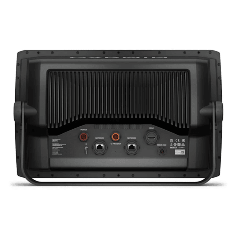
Connections:
- NMEA 2000 connections: 1
- Video outputs: 1 HDMI
- Garmin-marine network connections: 2 (large ports)
- 12-pin transducer connections: 12-pin scanning sonar
- Calls over Bluetooth
- ANT (connectivity)
- Garmin-Wi-Fi network (local connection)
E-Mail Login Link
Login or Register with...
Login
Information on the manufacturer (information obligations under the GPSR Product Safety Regulation)
Garmin Würzburg GmbH
Leightonstraße 7
97074 Würzburg, Deutschland
www.garmin.com/compliance